Snowy forecast to come and go this week
Oct 4, 2016 | 12:00 PM
-
Share on Facebook
-
Share on Twitter
- Copy Link
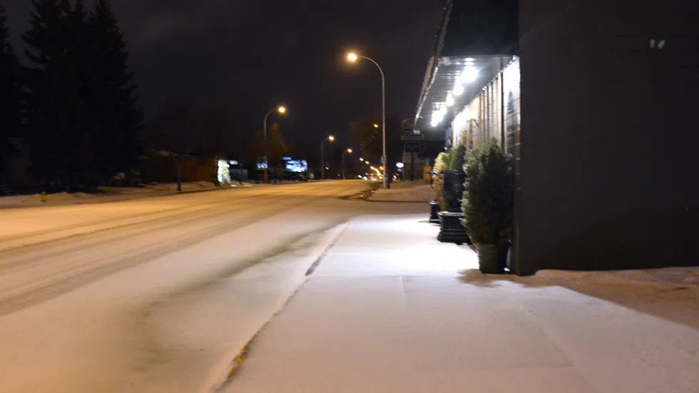
Almost just as soon as it came in, the snowy forecast is on the way out.
A forecast of rain and snow swept across the province for the first week of October with special weather statements along with rainfall and snowfall warnings popping up across Saskatchewan.
John Paul Cragg with Environment Canada said there is a strong low pressure system coming up from Montana, which is heading towards Manitoba. The system in the province started with rain followed by snow but will be ending towards the end of the week.
“Snow all the way through Wednesday and into Thursday before things start to slow down a little bit on Friday,” he said. Then you start to see a warm up Saturday through Sunday and then Monday for the long weekend.”