Google offers look at fire-damaged Fort McMurray neighbourhoods
May 15, 2016 | 9:19 AM
-
Share on Facebook
-
Share on Twitter
- Copy Link
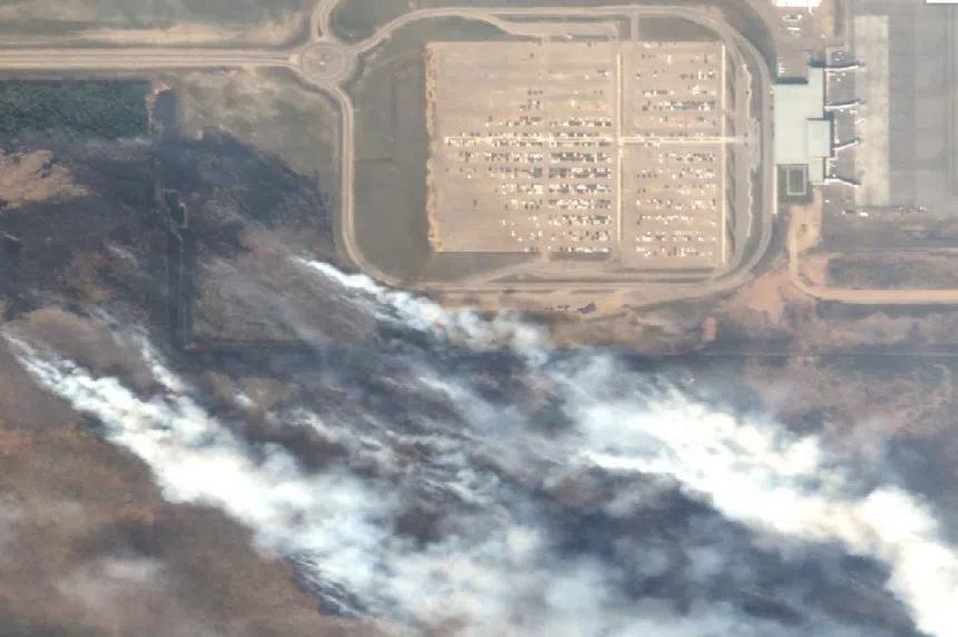
Fort McMurray evacuees eager for a look at how their neighbourhoods fared during a recent forest fire have a new tool — Google.
The California-based Internet giant is offering a bird’s-eye viewof the city taken from satellite imagery on May 5. It clearly shows which streets of the city suffered most from the fire, which destroyed 2,400 buildings.
“They happened to be on the right orbit and the right spot to capture these pictures,” said Christian Adams from Google’s crisis response team.
“They’re orbiting the Earth every day, so it wasn’t that big a surprise — a combination of the orbit and the clouds being out of the way that let us get these particular pictures.”